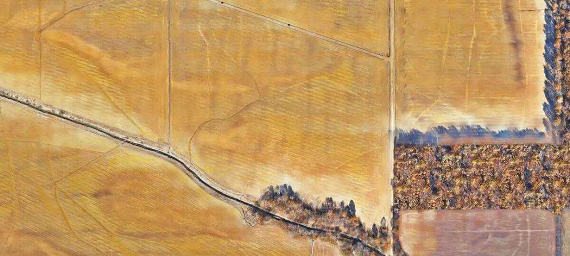
Mapping floodplains with a high-accuracy survey drone
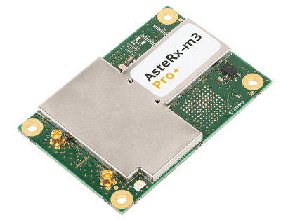
Aboard the WingtraOne drone is the AsteRx multi-frequency GNSS receiver
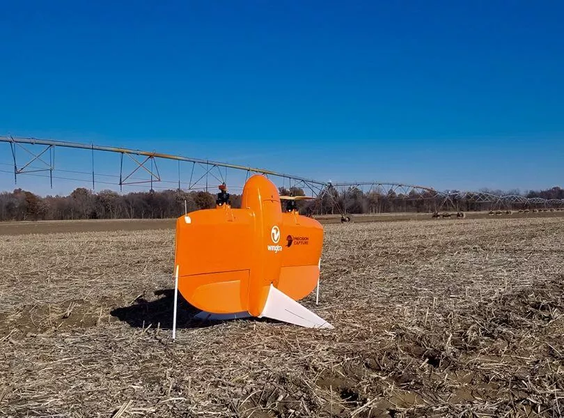
- WingtraOne is a VTOL fixed-wing drone flying fully autonomously, including take-off and landing
- During the flight, photos are time stamped and geotagged with RTK centimeter-level accuracy, by the AsteRx GNSS receiver aboard the drone.
- If there was no real-time link between the drone and the base-station, then flight data is post-processed for cm-level RTK accuracy, using the intuitive Wingtra PPK workflow.
- A highly reliable GNSS sensor in the navigation system adds to safety of autonomous flights even in the toughest environments. AIM+ Advanced Interference Mitigation technology ensures robust receiver operation in environments with radio interference, which can be emitted by various sources in urban areas.
- In the survey described above, the Sony QX1 payload was used, with images processed by software including Pix4D to create rich outputs with an average accuracy of 4.5 cm (1.8 in).
We needed to provide our client with accurate data. And that’s where photogrammetry really shines. The high quality of the sensors aboard the WingtraOne, not only helped us get accurate survey results, but also gave us confidence in the safety of our workers on the ground, even under windy conditions.
Headquartered in Switzerland, Wingtra is the producer of the WingtraOne drone. It is the world’s leading VTOL drone manufacturer for mapping, survey and mining industry professionals. Since its market entry in early 2017, Wingtra has partnered with more than 70 of the biggest equipment dealers and has been selling mapping drones all over the world
Related Insights
- High-precision GPS helps prevent avalanches
- Jam proofing drones
- Revolutionizing Precision Agriculture with GPS+INS Drones