UAV mapping without GCPs
Using the latest GPS technology for efficient photogrammetry
Unmanned Aerial Vehicles (UAV) are hot at the moment and people are excited to get involved with them. Building a functional UAV seems quite simple when you have the correct tools, skills and materials. However designing a UAV for your team’s professional needs is more difficult. Surveyors and GIS professionals understand that UAVs have enormous potential for their projects but are often lost about how to best implement this new technology and exploit their advantages over traditional surveying methods. Indeed, To help teams like yours get to grips with the possibility of UAVs for surveying and GIS, I recently participated in a live webinar hosted by GPS World about Designing, Building and Testing UAVs.
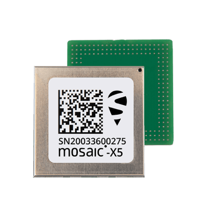
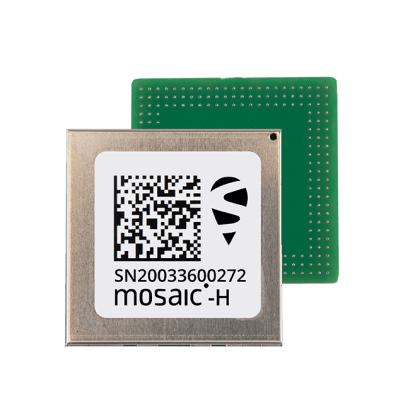
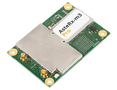
Listening to customers about their challenges, we have developed technology that utilizes the power of GNSS mapping without ground control points and put it into a package developed especially for easy integration into your UAV.
I mentioned in the webinar that many UAV mapping projects still use the traditional methods of manually surveyed ground control points as a first step. This may be easy on a flat terrain however, it is still a time consuming and costly activity. In a mine, in a landfill or at a high altitude construction site, the process of creating ground control points can be cumbersome, dangerous or even impossible.
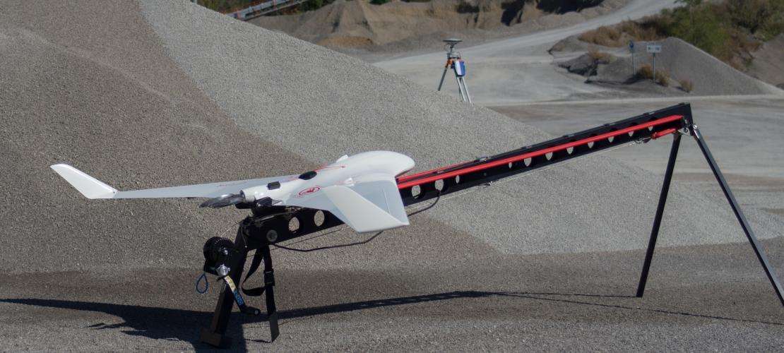
C-Astral, a UAS designer manufacturer based in Slovenia has successfully deployed a geotagging software in their BRAMOR rTK mapping UAV. Take a look for yourself.
Related webinars
- Development trends and challenges for UAV inspection applications
- From flying drones to doing business