Key benefits

  • Accurate and reliable positions, specifically designed to be robust in challenging environments
  • 3D Orientation also known as attitude, providing heading, pitch and roll angles
  • Coasting or dead reckoning functionality, providing continuous positioning during short GNSS outages
  • Full access to raw GNSS and IMU data (optional)
  • INS OEM boards and ruggedized inertial boxed solutions
  • Advanced Interference Mitigation anti-jamming, anti-spoofing (AIM+) and Positioning Sensor Fusion Tech (FUSE+)

About: GPS+INS and where is it used?  

What is an Inertial Navigation System (INS)? It is a device which measures rotation and acceleration and uses this information to calculate its position relative to the starting point. In contrast, GPS/GNSS provides absolute global positioning of any point which has GNSS satellite visibility. Combined, these two technologies create a powerful localization tool for accurate global positioning and orientation. GNSS/INS is frequently used in machine control and automation in industries such as construction, logistics and precision agriculture, especially in challenging environments where visibility of GNSS satellites is limited or obstructed.   

Specialized GPS/GNSS receivers provide reliable precise positioning by using multi-frequency, multi-constellation GNSS technology. GPS receivers need a line-of-sight to at least 4 satellites to know where they are, and they need even more satellites for centimeter-level positioning (RTK). When the sky is temporarily blocked and the receiver loses GNSS satellite connection, other sensors such as IMU (Inertial Measurement Unit) take over by providing relative position to the last known location. This is referred to as coasting or dead reckoning. On top of improving availability of positioning, an IMU also provides 3D orientation (heading/yaw, pitch and roll angles) of an object. This is also referred to as attitude.

Septentrio-GPS-GNSS-IMU-positioning-3D-Orientation-Coasting

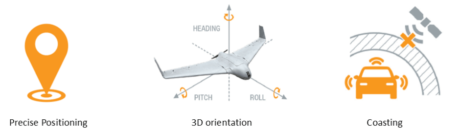
The accuracy and robustness of the velocity measurement is significantly enhanced by the IMU/GNSS integration. High-accuracy velocity is especially useful in kinematic applications such as train control, automotive testing or sports. A GNSS/INS system will also have a slightly better positioning accuracy as compared to GNSS alone, since the positioning solution will be “smoothed” out. In short, GNSS+INS is a powerful navigation and measurement tool used today in applications such as autonomous vehicles, robotics, machine automation as well as car testing and even sports.

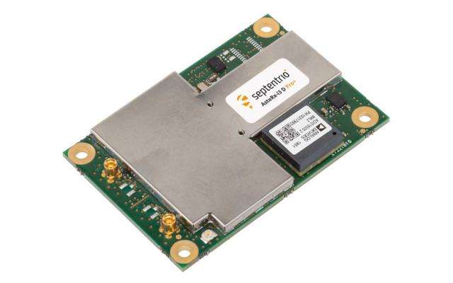
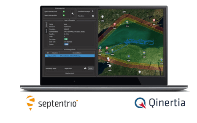
IMU inertial sensor in the GNSS/INS system

At the heart of an INS system is an IMU device which measures rotation and acceleration by using gyroscopes and accelerometers. There are many types of IMUs which vary in their performance capabilities. There are consumer-grade IMUs for coarse motion sensing, temperature-calibrated industrial-grade MEMS IMUs and finally advanced, high- accuracy IMUs based on fiber optics in a very high price bracket. Within the GNSS receiver, a Kalman Filter algorithm fuses IMU and GNSS data to provide precise and reliable GNSS/INS positioning and 3D orientation.