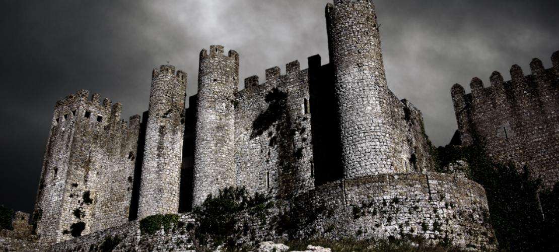
Uncovering medieval artifacts with the help of GNSS
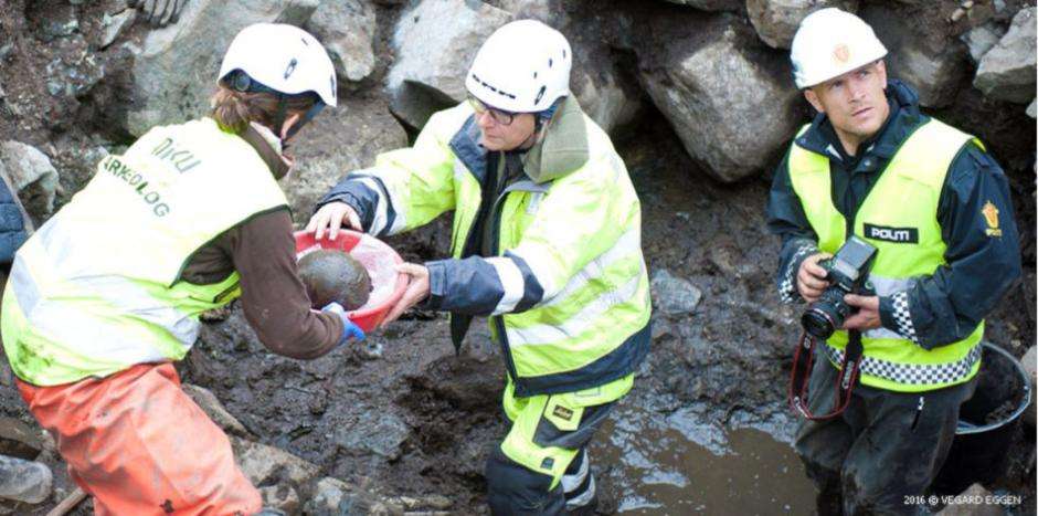
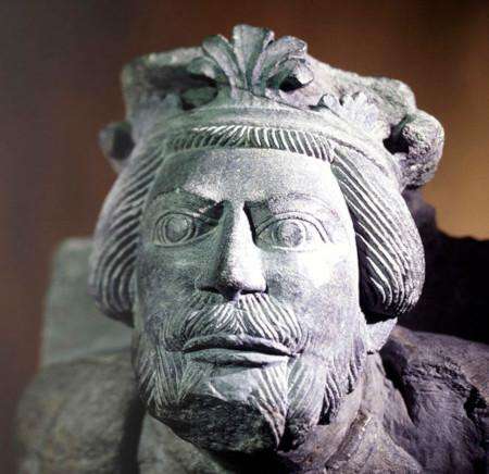
This skull and a large part of the skeleton belonged to a man in his late thirties. Carbon dating placed the remains in the same time-period as the saga described above. The site at Sverresborg castle also proved to be a rich source of medieval artefacts. To organize this vast array of information and to make it available for further research, the team from NIKU used GIS (Geographic Information System) to record the exact position of each artefact recovered. Even deep inside the well, the Septentrio smart antenna was able to determine positions with centimeter-level RTK precision.
NIKU is an independent institute for applied R&D and for services within the wider field of cultural heritage in Norway and beyond. NIKU works nationally and internationally with public authorities, other research institutions, international organisations, private enterprises and NGOs within a variety of fields. NIKU is based in Oslo and has regional offices in Bergen, Trondheim, Tønsberg and Tromsø.