Survey, GIS & mapping
Reliable geodetic-grade GNSS positioning
Mapping & GIS
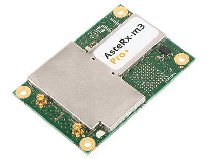
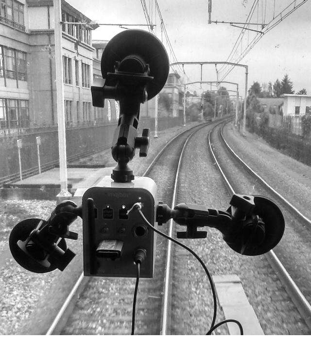
Today’s mapping is getting smarter and faster enabled by fusion of sensors such as cameras, LIDAR, INS and GPS. AI powered computer vision automatically identifies objects on vast amounts of data at ultra-high speeds. Septentrio GPS/GNSS receivers deliver absolute GNSS position for high-speed mapping systems with ultra-low latency and industry-leading update rates. Our receiver boards and modules have an easy-to-integrate design optimized for SWaP (Size, Weight and Power) to be directly integrated with other sensors or into mapping robots. For mapping with aerial drones please see our dedicated UAV page.
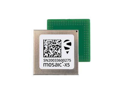
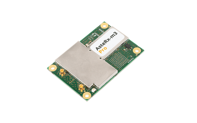
Septentrio OEM receiver boards and compact modules are ideal for integration into smart antennas designed for GIS applications. The mosaic-X5 module opens the door to resilient geodetic-grade accuracy in a small form factor, suitable for handheld devices and extended battery life.

Survey
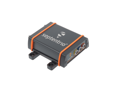
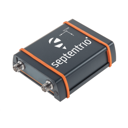
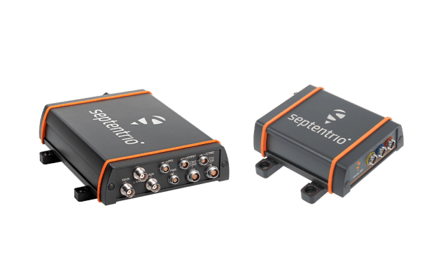
Robust and reliable positioning of Septentrio GNSS receivers allows surveyors to collect maximum number of points in a day, finishing projects quickly and efficiently. The easy-to-use interface, low-power design and light weight of Septentrio smart antennas and rovers makes them ideal for use in the field. The receivers also feature an open communication interface allowing connection to any base station with RTCM3 and other protocols.
Accurate and reliable GNSS positioning is in our genes. Septentrio receivers work as base stations or rovers providing geodetic-grade, sub-centimeter accuracy needed for surveying and mapping. The high reliability of acquired positions allows points to be accurately determined in a single pass.
Robust GNSS receivers increase productivity by continuously delivering RTK positions even in difficult environments. Multi-frequency multi-constellation GNSS technology ensures that the receiver works in areas of low satellite visibility such as near high structures or under foliage. Septentrio’s best-in-class Advanced Interference Mitigation (AIM+) technology shields the receiver against radio interference which can come from a wide variety of sources.
Contact our specialists to discuss your Survey, GIS and mapping requirements for your project.