
Septentrio's newest product - PinPoint-GIS
Posted on 16-07-2015
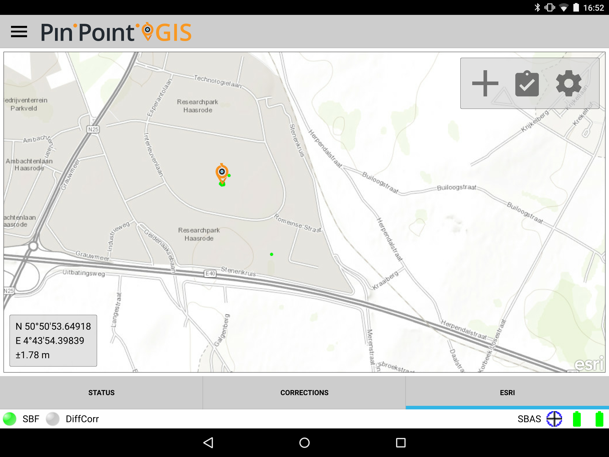
Septentrio introduces Pinpoint GIS, a utility software suite which allows GIS professionals to collect data from Septentrio GNSS receivers through seamless integration of their spatial data directly into ArcGIS online and other GIS database workflows.
Leuven, Belgium – July 16, Septentrio, a leading designer and manufacturer of GNSS receivers is proud to announce a new software suite called PinPoint-GIS which makes GIS data collection and visualization straightforward. Septentrio’s PinPoint-GIS provides several methods of data collection, based on a standard web browser hosted on the Altus APS-NR2 and a mobile app integrated with Esri’s ArcGIS or other GIS mapping systems.