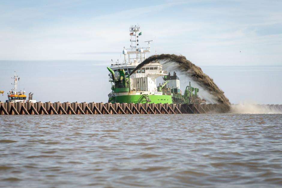
Marine construction and dredging
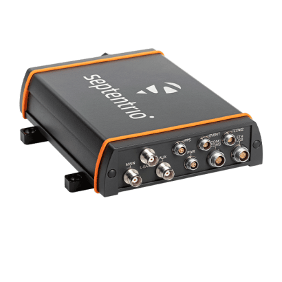
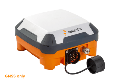
Some of the largest dredging companies in the world are using Septentrio GNSS receivers. High accuracy at sea can be achieved with a PPP sub-decimeter accuracy service, via L-band satellite reception. Our receivers offer dedicated L-band demodulator and a separate L-band input for the most robust and reliable PPP service. Transmitting equipment aboard the ship such as antennas and radios can interfere with GNSS signals. To combat this, our marine receivers offer AIM+ Advanced Interference Mitigation technology, with an enhanced Iridium and Inmarsat uplink interference protection.
Find out how one of dredging giant DEME’s ships kept on working despite significant GNSS near-shore jamming. Read about how Jan De Nul uses GNSS for cabling with minimal impact in a nature reserve.
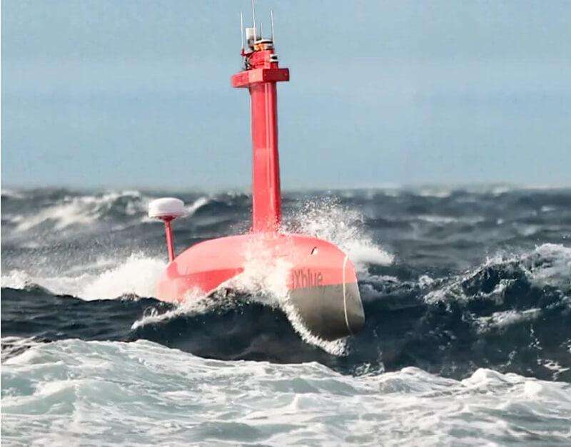
Marine mapping
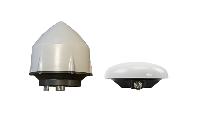
RTK positioning provides geodetic-level positioning accuracy for bathymetry, marine survey and mapping. Centimeter-level positioning can be achieved in real-time when operating near-shore or during the post-processing stage. Septentrio offers Post Processing Software Development Kit (SDK) for efficient and easy post-processing of logged positioning data.
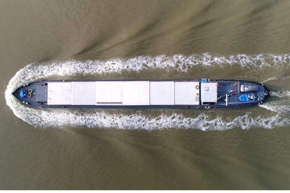
Autonomous ships
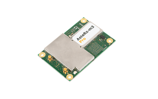
Transport barges are more energy efficient and safer than their rail or road counterparts. With automation fuel costs, rout efficiency and cargo space can be further optimized. For reliable autonomous navigation Septentrio RAIM+ integrity algorithms provide honest error information (uncertainty limits) about the positioning output. This mechanism ensures that only highly accurate positioning is used for autonomous navigation. Dual antenna receivers are available to provide heading information in addition to robust positioning. APME+ proprietary algorithm ensures high accuracy in in tight spots like a lock, where reflected GNSS signals can cause multipath.
Find out about autonomous inland barges from a company called SeaFar, and how they overcome the challenges of autonomous marine navigation.
Contact our support team for more information on Septentrio's GNSS solutions for the marine industry.